VAGABOND RIDER: UNFINISHED BUSINESS
A Toronto HOG® member returns to the scene of the crime.
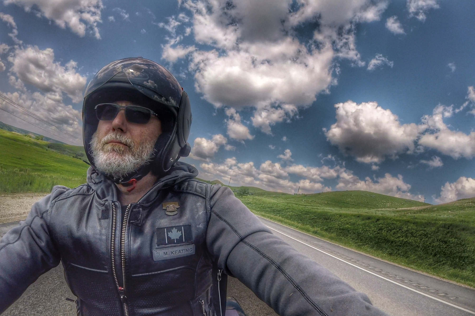
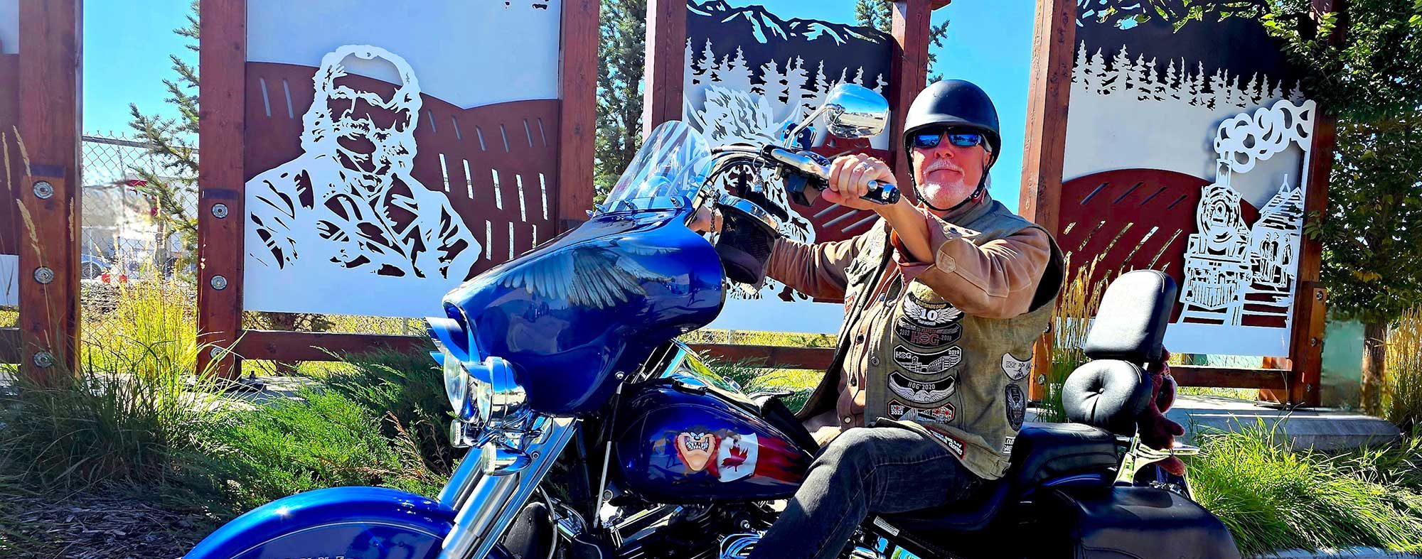
By Mark Keating
The Hoka Hey Motorcycle Challenge may be one of the world’s most challenging motorcycling events. Riders navigate a 10,000-mile (16,000-km) course, mainly along secondary roads, following turn-by-turn directions – no GPS allowed. Participants must ride American V-twins and sleep outdoors within arm’s reach of their bikes.
Many don’t finish. There are mechanical, medical, and voluntary withdrawals, plus disqualifications. In 2022, I was one of the unlucky ones.
I shared the details of the crash that ended my Hoka Hey Challenge in the August 2022 HOG® newsletter. The short version is that I was helicoptered to a trauma centre in Phoenix to have my right arm reassembled.
In the intervening two years, I’ve felt like I had unfinished business, like I needed to finish the course. So, on July 1, 2024, I restarted the 2022 Hoka Hey route right from where I crashed.
I committed to honour the challenge rules from the crash site to the end of the course – a little over 9,000 km through the western United States.
I started by riding north and west around the Grand Canyon to Zion Harley-Davidson in St. George, Utah, where I set up my camp cot in the parking lot for my first night’s rest.
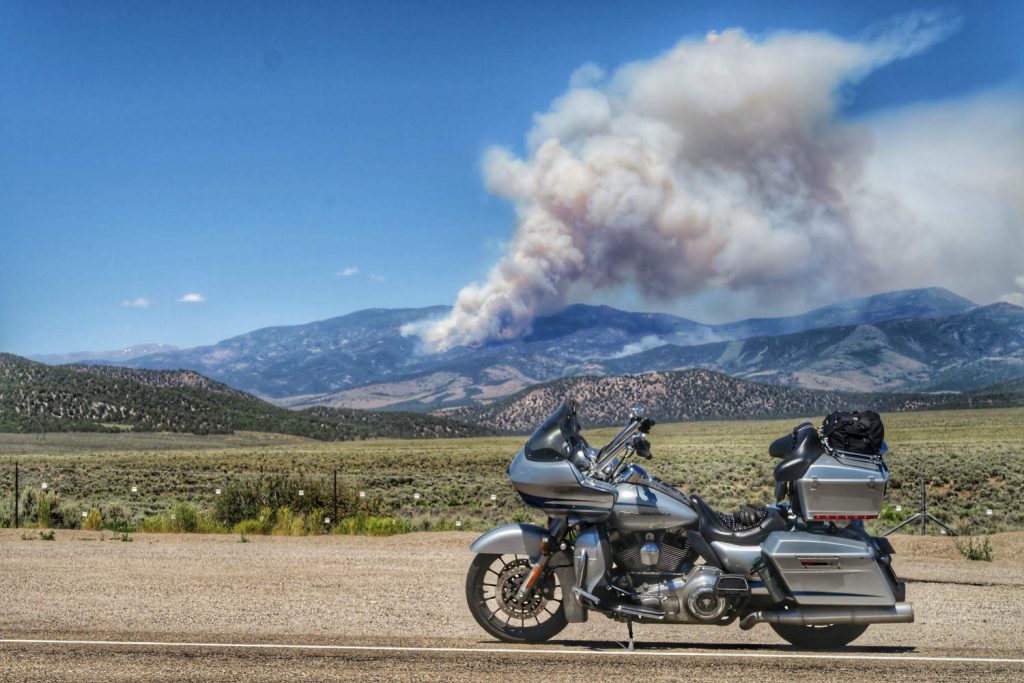
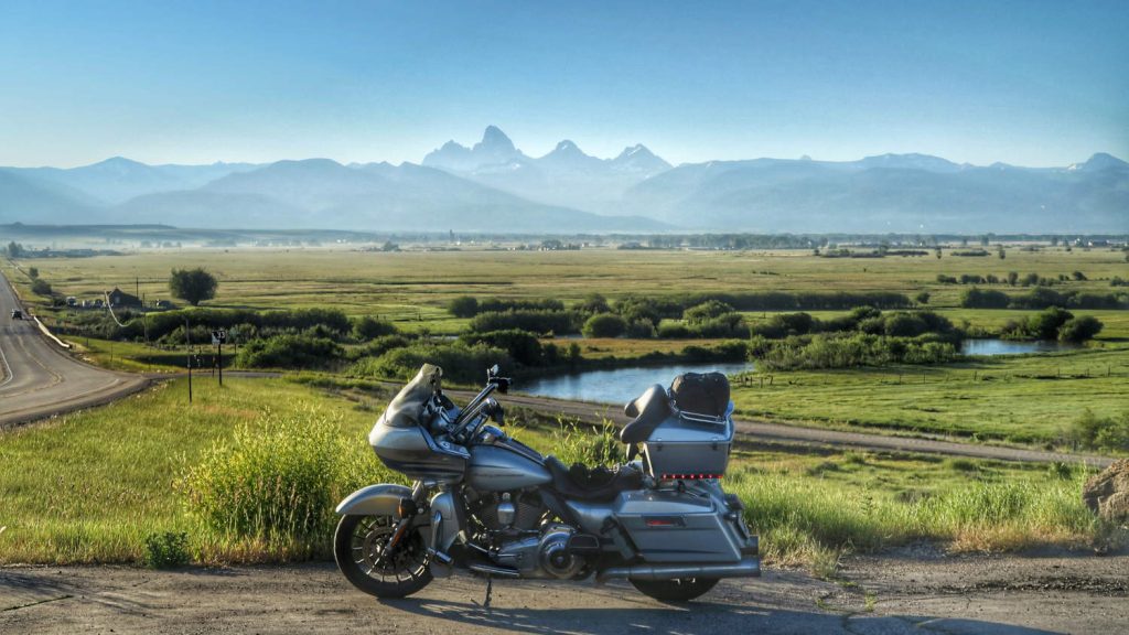
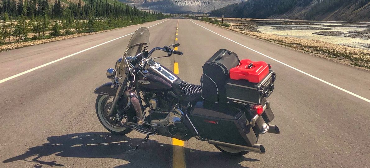
At dawn, I unsealed the directions for stage 3 of the course: 5,000 km through six states to Boise, Idaho. Through southern Utah, the altitude tempered the building heat. But as I dropped into the vast Nevada landscape, the outside temperature gauge on my 2011 Harley-Davidson® Road Glide® Ultra hit the top of its range. Remembering my 2022 mistakes, I rested in air-conditioned locations and focused on hydration. Finally, I settled in to sleep behind a community centre in Tenopah, Nevada.
An hour into the next day’s ride, I came upon a line of traffic at a dead stop. I learned from a group of other Harley® riders that an accident had closed the route almost eight hours before. Rather than take a five-hour detour, I chose to wait for the road to open. Thankfully, less than two hours later I was moving again, having spent my wait time hydrating.
I continued generally northwest, entering California south of Lake Tahoe – where July 4th traffic slowed progress. Thankfully, the course soon diverted to less popular roads and I was able to cruise to an 11 p.m. finish, setting up camp behind the Walmart in Yreka.
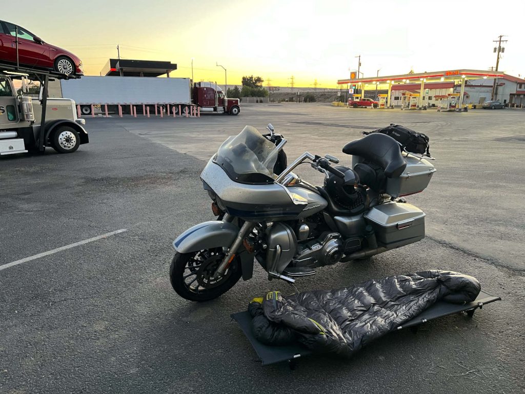
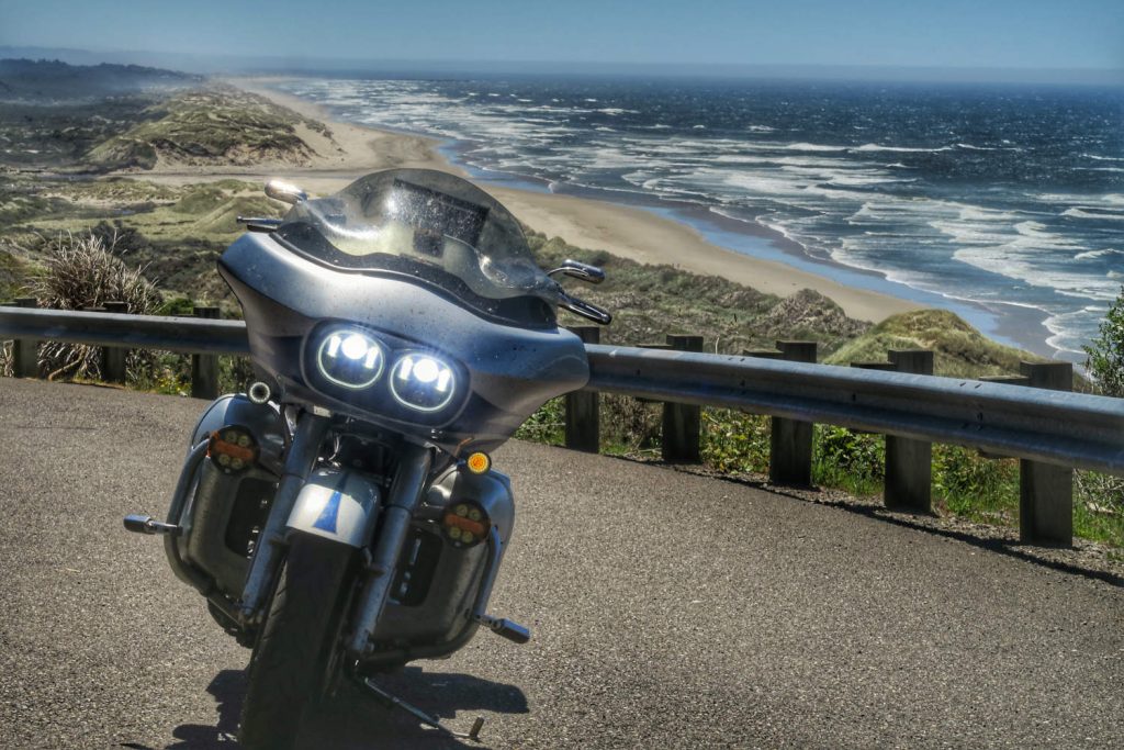
The next morning I travelled north into Oregon, passing Crater Lake before turning west. I rode more than 500 km along the Pacific Coast, enjoying the cool breeze. I turned inland again at the state’s northern edge, following the Columbia River through Portland. I continued up the Columbia River Valley until 11 p.m., tucking myself safely away at the edge of a truck stop in Umatilla.
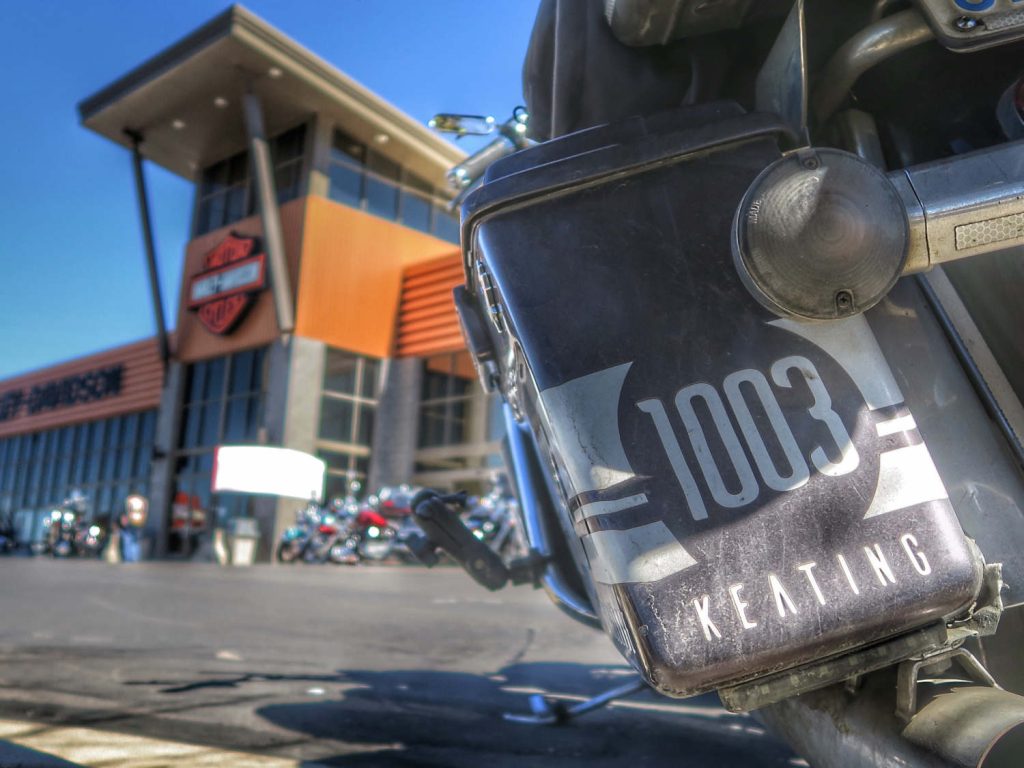
I rose at dawn, travelling mostly east and south towards the third checkpoint in Boise. My bike was overdue for a service, so I popped into High Desert Harley-Davidson for a 3-hole oil change. While they worked, I got into fresh clothes, drank some water, enjoyed the air-conditioning, and unsealed my final set of route instructions: 3,500 km to the finish in Hot Springs, at the southern end of the Black Hills of South Dakota.
For the remainder of the day, I rode from valley to valley, enjoying the altitude, cooler temperatures, and stunning views of rural Idaho. By 11 p.m. I had traversed most of the state, and settled in behind a school in Terreton.
I woke with a mix of hope and trepidation that the route would take me over the Teton Pass. A few weeks prior a landslide had disappeared a portion of that road. I was fearful it might not be open, or that it would be slow going on a temporary road. The route did go over the pass, but it was repaired so well I remain unsure where it had to be rebuilt.
From Jackson, the route turned south, crossing back into Oregon before re-entering the northeast corner of Utah. State Route 39 out of Ogden looked to offer miles of twists as it climbed out of the city. But once again, I found myself stopped behind traffic. Then, I heard the sirens. Word soon spread that a rockslide ahead would take the remainder of the day to clear.
Busting out my paper maps (remember, no GPS!), I cross-referenced the directions and discovered my only reasonable option was to detour via the interstate to a point an hour east and pick up the route near Evanston, Wyoming.
Wyoming is vast and sparsely populated. When travelling by motorcycle, alone, on mostly secondary roads, this can be nerve-wracking.
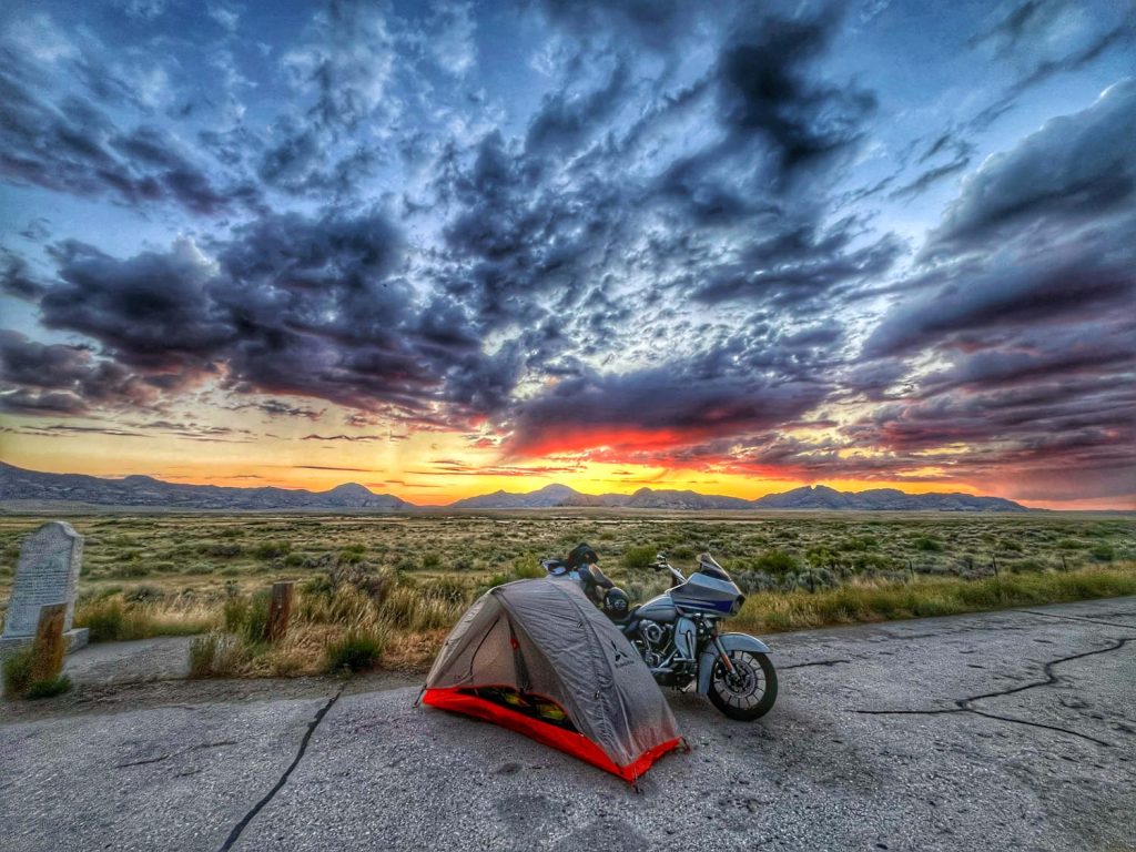
I refuelled at every opportunity. Still, watching my fuel gauge approach empty on a dark, isolated highway, I wondered whether I had missed a station. My last hope was Jeffrey City, which according to signage was within range of my remaining fuel. But I saw no gas station in Jeffrey. Consulting my maps by flashlight, I realized I did not have enough to get to the next city. I also did not have enough to backtrack. To my great relief, I finally found a single, unlit but functional fuel pump next to a decrepit building.
Soon, I settled in under the stars at a roadside memorial to the Oregon Trail. When thundershowers rolled through, I quickly assembled my tent and climbed in, a little damp.
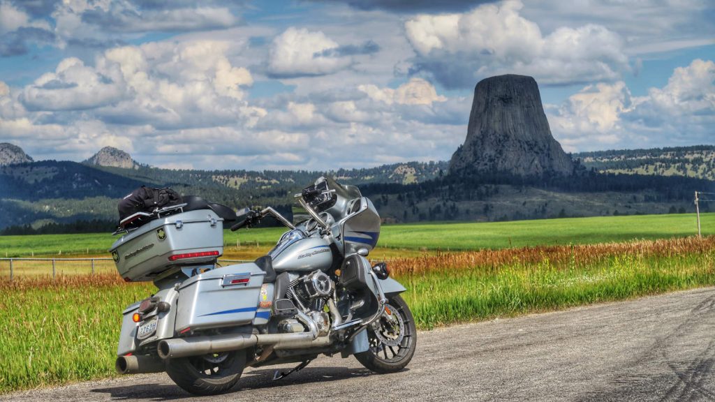
By morning, the rain had stopped, but the remaining clouds were gloriously lit as the sun crested the Rattlesnake Mountains. I headed mostly northeast towards South Dakota. By midday I had passed Devil’s Tower and into the Black Hills.
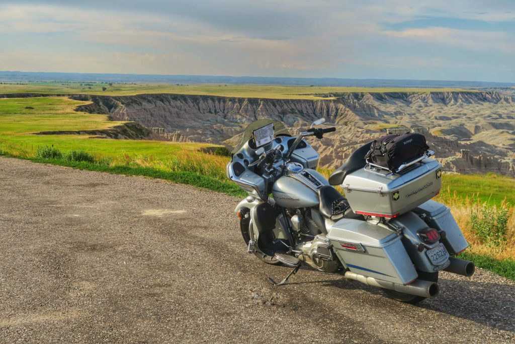
The route headed east through Rapid City to the Badlands, where it U-turned westward. Thunderstorms whipped up ferocious winds and sand. At points visibility was near zero, and I made slow progress using the edges of the roads as guides. Once I was out the other side, I faced one final challenge: the Needles Highway. Knowing I was close to the finish, I settled in and enjoyed the ride.
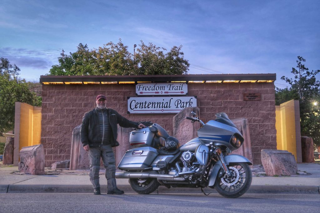
As the sun set, I rode into Hot Springs, finding the finish in Centennial Park. Two years earlier, I would have arrived to a reception committee. As it was, I took a few pictures and let what I had done sink in. While I hadn’t earned my “finisher” designation, I had, perhaps, expunged the demons that haunted me.
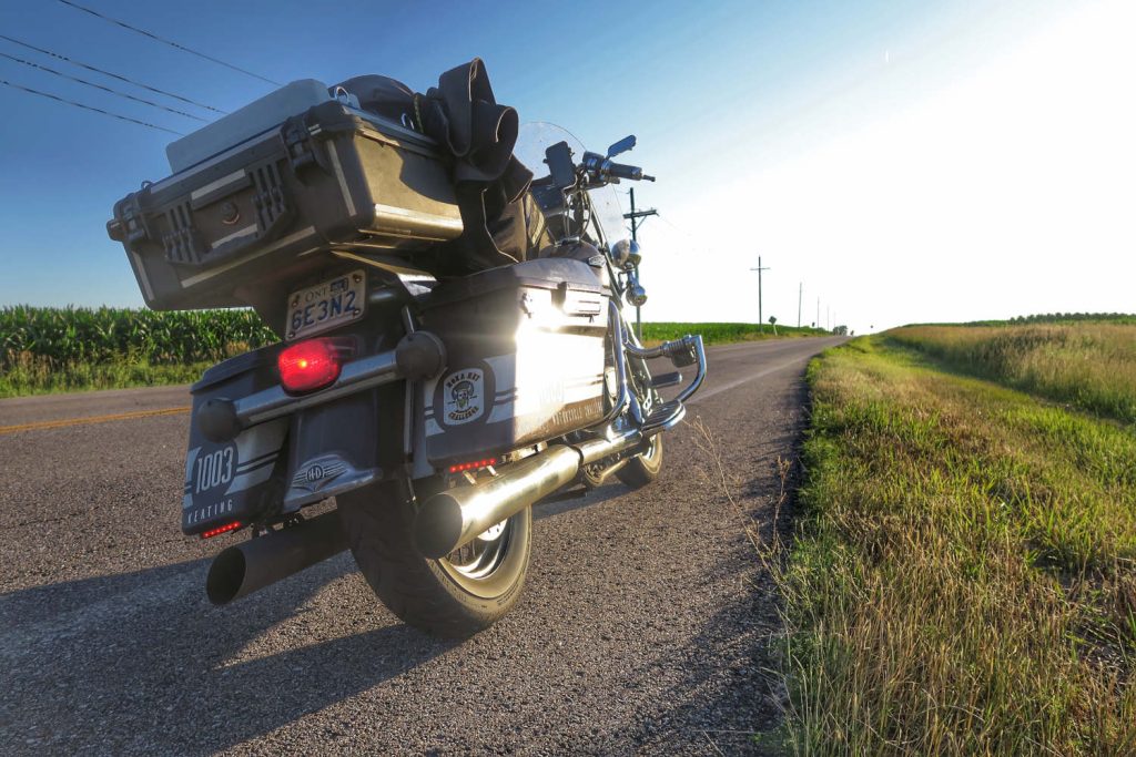
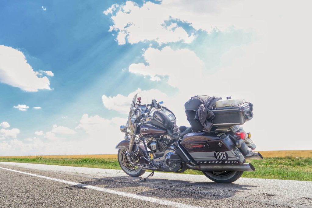
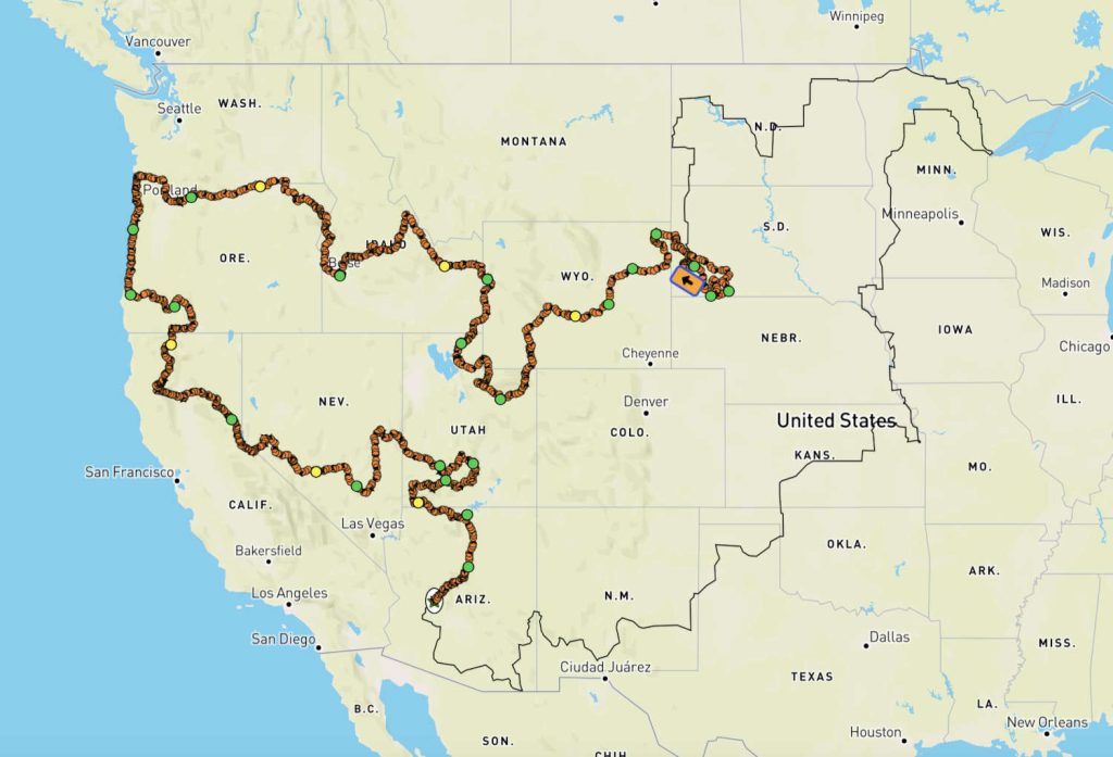
Pictures featuring the 2005 Road King® are from the 2022 event (pre-crash). Pictures featuring the 2011 Road Glide are from 2024. The course map shows the full route: pre-crash (2022) in fainter black, and post-crash (2024) with the tracking “breadcrumbs.”
Lifetime HOG Member Mark Keating (IG: @markwkeating) has explored (almost) every corner of North America on his Harley-Davidson® motorcycles. As winner of the 2020 & 2021 HOG® Canada ABCs of Touring challenge and holder of 49 Iron Butt Association (IBA) certificates – including three “first-ever” – Mark has officially found his happy place with a proverbial full tank.
Tags:
Read more tales from the Harley Owners Group!
2025 CANADIAN HOG RALLIES AND RIDING EVENTS
Stay tuned to this page for a listing of all of the 2025 HOG rallies and riding events in Canada. This page was last updated on December 20, 2024
Make life a ride and find your freedom
Exclusive discount for HOG Canada members with Freedom Biker Tours
Vagabond Rider: Hope and prep
Suggestions for how to prepare for inevitable inconveniences